Member nations
Heiltsuk Territory

Heiltsuk Territory encompasses 16,658 square kilometres of land, and extensive nearshore and offshore waters. The territorial boundaries are defined by six Heiltsuk tribal groups and extend into national waters. According to nuyem or oral tradition, the Heiltsuk have had a relationship with these rich and productive lands and waters for countless generations.
Kitasoo/Xai’xais Territory

Kitasoo/Xai’Xais Territory is composed of both land and marine areas, totally 3,939 square kilometres. The western portion of the territory is characterized by many windswept island groups and narrow channels. Deep valleys, long fjords and glaciated peaks of the Pacific Coast Range Mountains are typical of the eastern portion of the territory.
More about Kitasoo/Xai’Xais Nation [icon=”arrow-circle-o-right”]
Nuxalk Ancestral Territory
Nuxalk Ancestral Territory includes 18,000 square kilometres of land as well as significant marine territory. Large watersheds draining several rivers and streams, deep valleys and fjords, and glaciated peaks of the Pacific Coast Range Mountains characterize the territory.
Wuikinuxv Territory

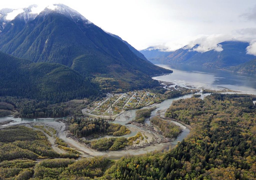
Wuikinuxv Territory is made up of both land and marine areas, with the land portion totaling almost 7,000 square kilometres and the marine portion totaling over 200 square kilometres. The territory is characterized by a significant lake network, temperate rain forests, deep valleys, and glaciated peaks of the Pacific Coast Range Mountains.